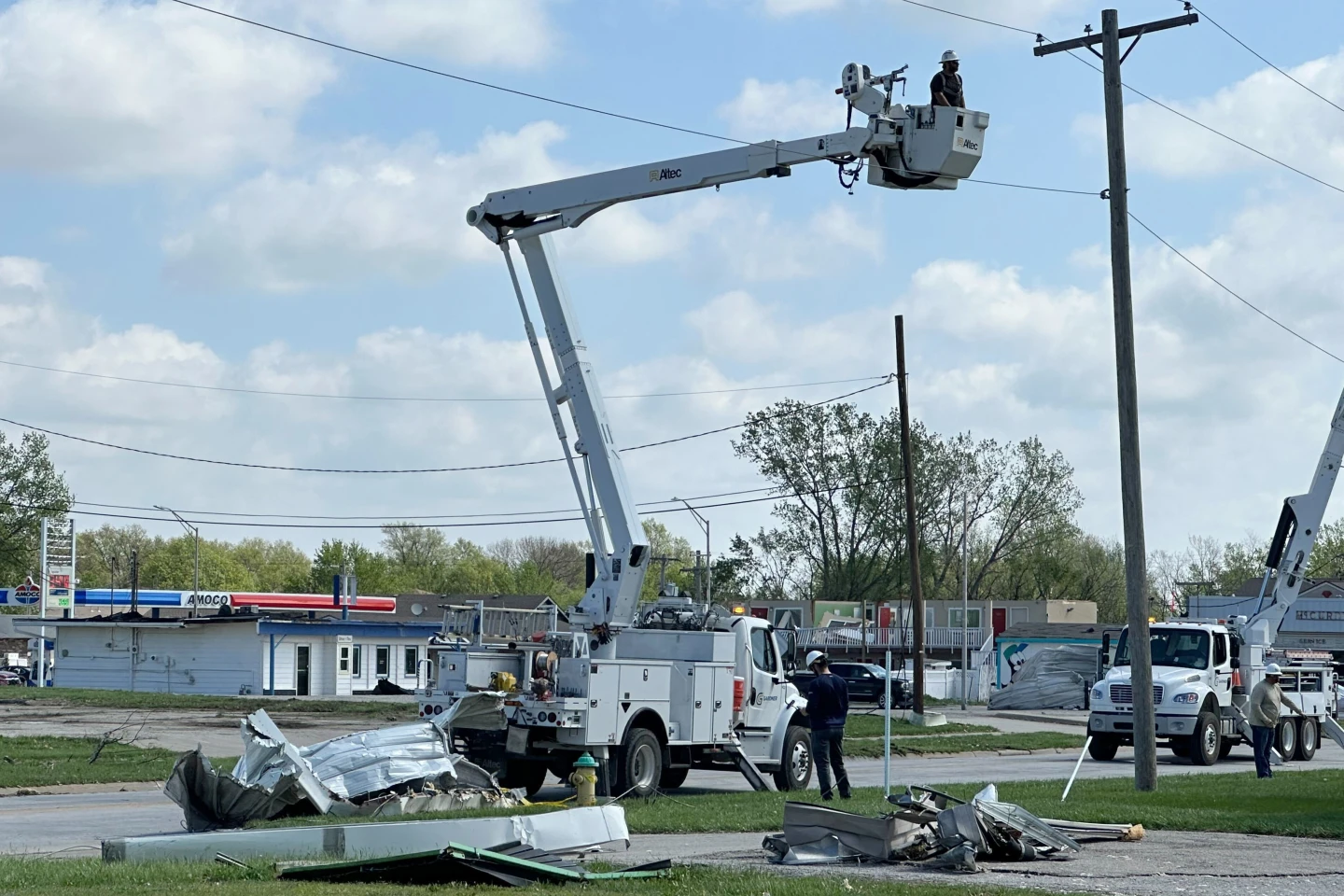
Hurricane Erin has made its entrance into the 2025 Atlantic hurricane season with alarming intensity, rapidly evolving into a category five storm packing winds of 160 mph (260 km/h). According to the National Hurricane Center's Director, Mike Brennan, the hurricane "explosively deepened and intensified" after forming as a tropical storm earlier in the week. Erin is projected to travel north of the Leeward Islands, the Virgin Islands, and Puerto Rico this weekend, bringing heavy rainfall of up to 6 inches (15 cm) which poses threats of flash flooding and mudslides in affected areas.
The newly formed hurricane's intensity rose dramatically from 100 mph early Saturday morning, showcasing a rapid intensification process characterized by a gain of at least 34 mph within a 24-hour timeframe. As the storm progresses into next week, it is expected to navigate northward, skirting the eastern Bahamas and moving towards the Outer Banks of North Carolina.
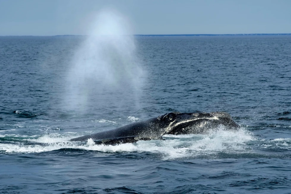
Brennan has highlighted the imminent life-threatening surf and rip currents that could impact the U.S. East Coast, particularly in Florida and mid-Atlantic states. Bermuda is also expected to deal with hazardous surf conditions and heavy rains. In response to the approaching gale-force winds, the U.S. Coast Guard is enforcing restrictions on maritime activities in ports on the St. Thomas and St. John islands of the U.S. Virgin Islands and several municipalities in Puerto Rico, including San Juan.
Forecasts from the National Oceanic and Atmospheric Administration (NOAA) indicate an "above normal" hurricane season for the Atlantic this year, with climate change projected to increase the frequency of tropical storms transforming into category four and five hurricanes.
The newly formed hurricane's intensity rose dramatically from 100 mph early Saturday morning, showcasing a rapid intensification process characterized by a gain of at least 34 mph within a 24-hour timeframe. As the storm progresses into next week, it is expected to navigate northward, skirting the eastern Bahamas and moving towards the Outer Banks of North Carolina.
Brennan has highlighted the imminent life-threatening surf and rip currents that could impact the U.S. East Coast, particularly in Florida and mid-Atlantic states. Bermuda is also expected to deal with hazardous surf conditions and heavy rains. In response to the approaching gale-force winds, the U.S. Coast Guard is enforcing restrictions on maritime activities in ports on the St. Thomas and St. John islands of the U.S. Virgin Islands and several municipalities in Puerto Rico, including San Juan.
Forecasts from the National Oceanic and Atmospheric Administration (NOAA) indicate an "above normal" hurricane season for the Atlantic this year, with climate change projected to increase the frequency of tropical storms transforming into category four and five hurricanes.