In the wake of American airstrikes targeting Iran's Fordo nuclear enrichment facility, satellite images taken in the days following the attack reveal an increase in activity at the heavily fortified location, nestled deep inside a mountain. Captured by Maxar Technologies, these images show the construction of new roads providing access to impact sites, along with the presence of vehicles like cranes and excavators, presumably deployed to assess damage.
Joseph S. Bermudez, a senior fellow at the Center for Strategic and International Studies, remarked that these images suggest Iranian authorities are evaluating the extent of the damage inflicted by the strikes. "It appears that they’re evaluating the hole, evaluating how deep it went," he noted, implying that the focus is on understanding the impact rather than embarking on any repair work.
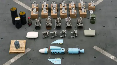
The American attack on June 22 involved the deployment of 12 Massive Ordnance Penetrators—heavy-duty bombs designed for striking fortified structures. While President Trump claimed that the facility was “obliterated,” assessments from various experts indicate a more cautious interpretation of the damage.
Analysis reveals that the activity around the Fordo site appears primarily related to damage assessment. Peter McDonald, director at Viper Applied Science, noted, "I don’t think I see any evidence of [Iran] carrying out repairs or recovery." Instead, it seems the Iranian side is primarily focused on thorough evaluations.
Following the attack, Israel confirmed that it also conducted airstrikes on Fordo, targeting access routes to the site. Notably, imagery indicates that Iran wasted no time in responding—by June 27, they had already filled in a significant crater at the entrance left by these strikes.
Further assessments underscore that although Iranian officials are actively investigating the aftermath of the airstrikes, there is currently no visible movement towards reactivating or repairing the enrichment facility itself. Bermudez reflects, “I don’t think they’ve moved into the phase of reactivation.” Therefore, the satellite images reveal not just a reaction to external threats but signify a much broader strategic response by Iran in the face of its national security concerns.