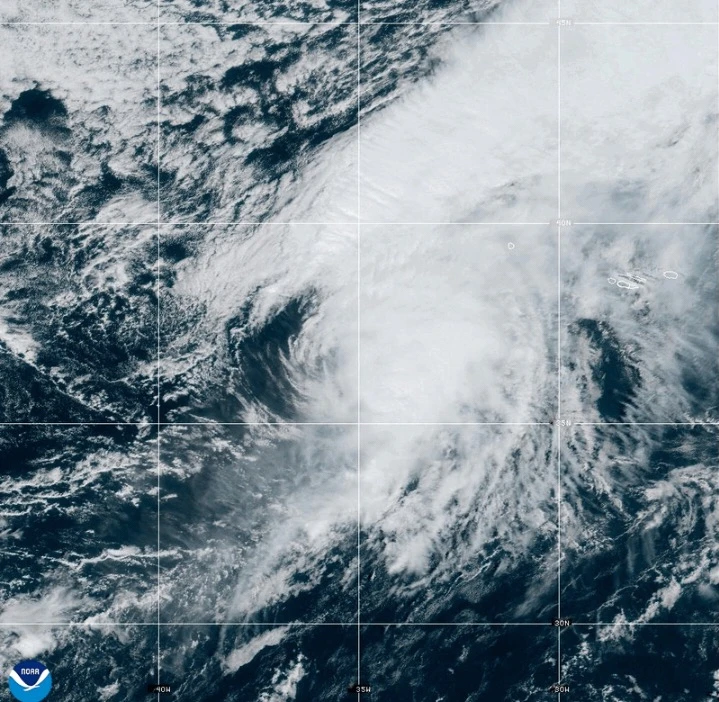
Hurricane Gabrielle is expected to strike the Azores islands on Thursday night through early Friday, bringing with it heavy rain, high winds, and a dangerous storm surge. A hurricane warning has been issued for all of the islands in this volcanic archipelago as the Miami-based National Hurricane Center urges residents to finalize their storm preparations swiftly.
As of Thursday afternoon, Gabrielle was located approximately 455 miles from the Azores, boasting maximum sustained winds of 75 mph and moving east at 32 mph. Forecasters anticipate that swells generated by the storm may lead to life-threatening surf and rip current conditions, impacting not just the Azores, but also areas including Bermuda and the northeastern coast of the U.S.
The storm is expected to maintain hurricane strength while passing through the Azores and will weaken by the weekend. However, strong hurricane-force wind gusts are still anticipated across parts of the islands even after the storm center has passed.
Gabrielle is projected to bring up to 5 inches of rain to the central Azores, contributing to flash flooding, especially in mountainous regions. The eastern and western parts of the islands may receive up to 3 inches of rain.
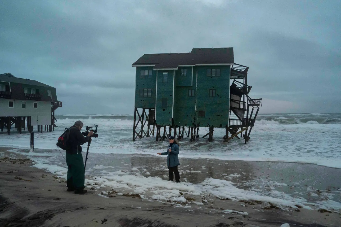
A dangerous storm surge combined with significant wave activity is expected to cause severe coastal flooding in areas subject to onshore winds. Residents are advised to remain alert and follow guidance from local authorities as the storm approaches.
Meanwhile, Tropical Storm Humberto is also developing in the Caribbean and is predicted to intensify into a hurricane shortly.