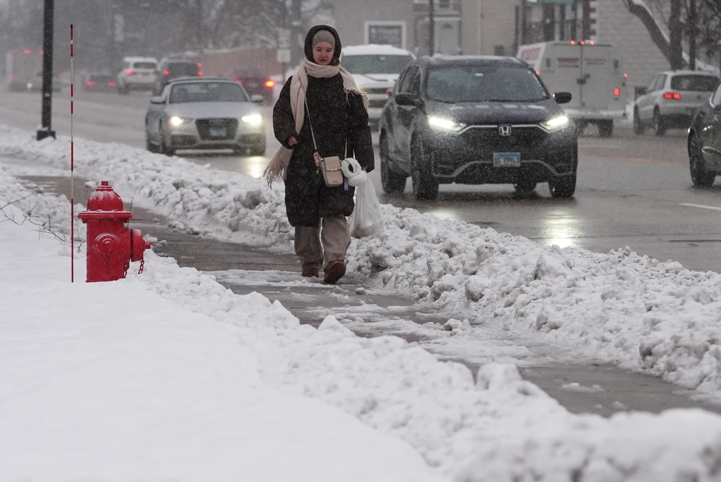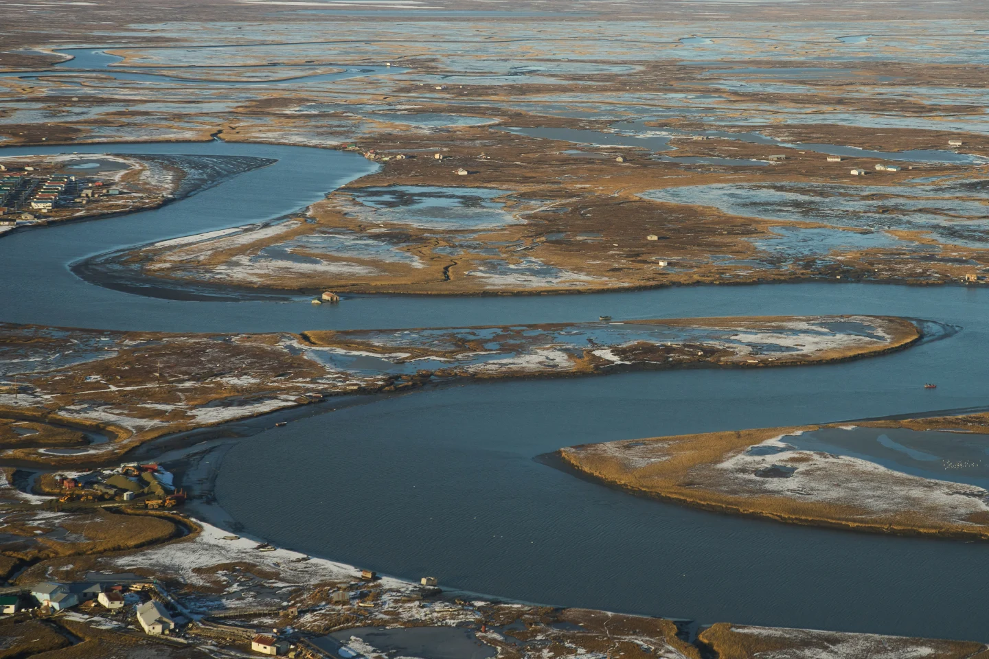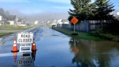
In Alaska, communities are bracing for potential evacuations as concerns over glacial melt escalate into fears of unprecedented flooding. The Mendenhall Glacier, a well-frequented tourist destination located approximately 12 miles from Juneau, has seen its dammed meltwater begin to flow dangerously into the Mendenhall River. In response, the National Weather Service (NWS) has issued a flood warning, noting the water levels had begun to rise ominously.
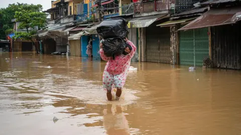
Local officials expressed the gravity of the situation for several days, warning that evacuations might be necessary. Recent reports confirmed that water has breached the glacier’s ice dam, and flooding is anticipated shortly. As of Tuesday, the recorded water levels reached 9.85 feet (3 meters), just shy of the major flooding threshold of 14 feet. By Wednesday morning, however, the levels exceeded 16 feet, reaching a crest and setting a new record. "This will be a new record, based on all of the information that we have," stated meteorologist Nicole Ferrin during a press conference.
The Juneau city website describes glacial lake outbursts as instances when a reservoir of melting snow and glacier ice drains quickly, akin to unplugging a filled bathtub. When high meltwater levels are reached, they can inundate a glacier's boundaries, leading to a dramatic outflow. In light of the imminent threat posed by this phenomenon, Alaska Governor Mike Dunleavy declared a state disaster on Sunday.
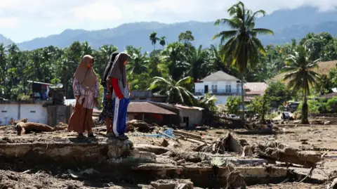
Concerns about flooding have been persistent in the region since at least 2011, with neighborhoods suffering substantial damage and even total loss in previous years. Last year's floods affected hundreds of homes in the vicinity. The trend is exacerbated by the global issue of melting glaciers due to rising temperatures, resulting in more glacial lakes. Scientists have documented a surge in both the number and size of these lakes since 1990. These natural ice and rock barriers are becoming increasingly unstable, raising alarms for future flooding events connected to climate change.
Local officials expressed the gravity of the situation for several days, warning that evacuations might be necessary. Recent reports confirmed that water has breached the glacier’s ice dam, and flooding is anticipated shortly. As of Tuesday, the recorded water levels reached 9.85 feet (3 meters), just shy of the major flooding threshold of 14 feet. By Wednesday morning, however, the levels exceeded 16 feet, reaching a crest and setting a new record. "This will be a new record, based on all of the information that we have," stated meteorologist Nicole Ferrin during a press conference.
The Juneau city website describes glacial lake outbursts as instances when a reservoir of melting snow and glacier ice drains quickly, akin to unplugging a filled bathtub. When high meltwater levels are reached, they can inundate a glacier's boundaries, leading to a dramatic outflow. In light of the imminent threat posed by this phenomenon, Alaska Governor Mike Dunleavy declared a state disaster on Sunday.
Concerns about flooding have been persistent in the region since at least 2011, with neighborhoods suffering substantial damage and even total loss in previous years. Last year's floods affected hundreds of homes in the vicinity. The trend is exacerbated by the global issue of melting glaciers due to rising temperatures, resulting in more glacial lakes. Scientists have documented a surge in both the number and size of these lakes since 1990. These natural ice and rock barriers are becoming increasingly unstable, raising alarms for future flooding events connected to climate change.