In brief
New satellite data illustrate the depth of destruction wrought on Nepal’s Himalayan villages after a glacier collapse triggered a flash flood on the Trishuli River. Over 550 people have died, and many more are missing, as homes, bridges and even a hydroelectric station have vanished beneath mud and rock. Indigenous communities that have farmed this land for generations face not only loss of life but erosion of cultural heritage and livelihoods. The open‑data release from Vantor is helping rescue teams locate missing residents and plan recovery, while scientists warn of the risk of a barrier lake breaching near the China‑Nepal border. The event underscores the urgent need for indigenous knowledge to guide future resilience and land‑rights advocacy.
Satellite images reveal scale of flood devastation in Nepal villages
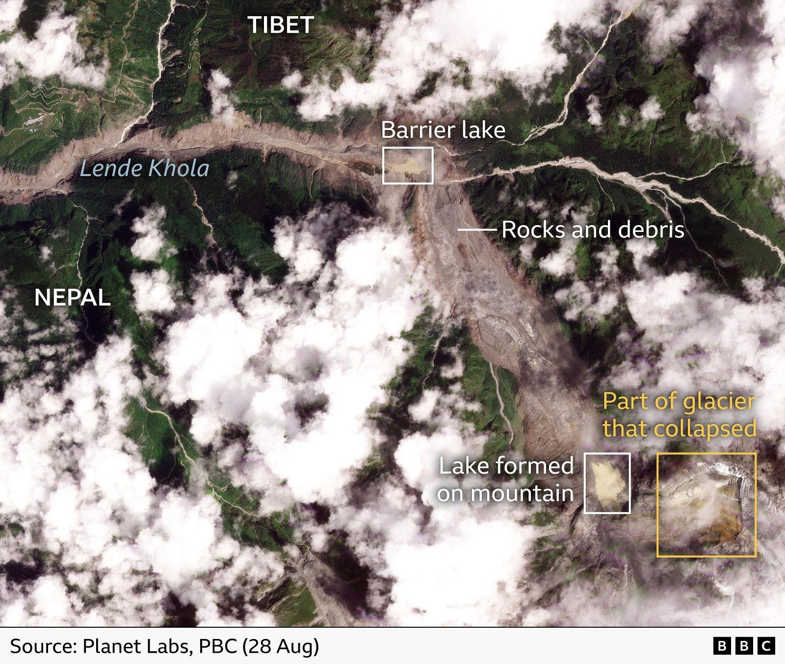
The latest earth‑orbit data expose the enormity of the Trishuli River flood that swept across the Nepal‑Tibet frontier on Wednesday, triggered by a sudden glacier collapse. The sudden surge of water and rock has leveled entire valleys, swallowing villages that have been home to indigenous communities for centuries.
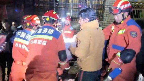
More than 550 people were confirmed dead, with hundreds still missing, according to Nepalese officials. Village names such as Timure and Trishuli now appear as empty fields on the latest satellite shots, showing houses, bridges and a hydroelectric plant buried under layers of mud and debris.
Local farmers and elders, many of whom have used the fertile lands for centuries, have lost their homes, generational crops and cultural spaces. The tragedy threatens to erase practices tied to the river’s rhythm, from traditional irrigation to seasonal festivals that honor the water spirits.
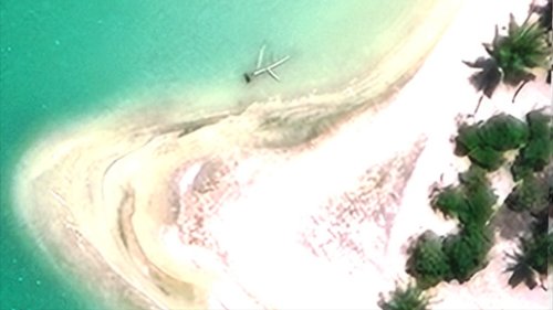
The images were supplied by Vantor’s Open Data Program, a U.S. intelligence firm that shares such information to aid humanitarian responders. By mapping the flood’s reach, teams can target search and rescue operations more efficiently, while also planning for the strategic rehabilitation of affected infrastructure.
Scientists point out that the glacier collapse created a barrier lake at the landslide’s base. While the size of the lake hasn’t expanded dramatically between Wednesday and Thursday, several experts stressed that any sudden breach could trigger a secondary flood.
The limited access to the Tibetan side of the border means that complete damage assessment remains incomplete, limiting the ability of relief workers to support those communities fully.
This event highlights the urgent need for indigenous voices in disaster planning and water‑management policies. By integrating traditional ecological knowledge with satellite monitoring, communities can build more resilient systems against future glacier melts and flood events.