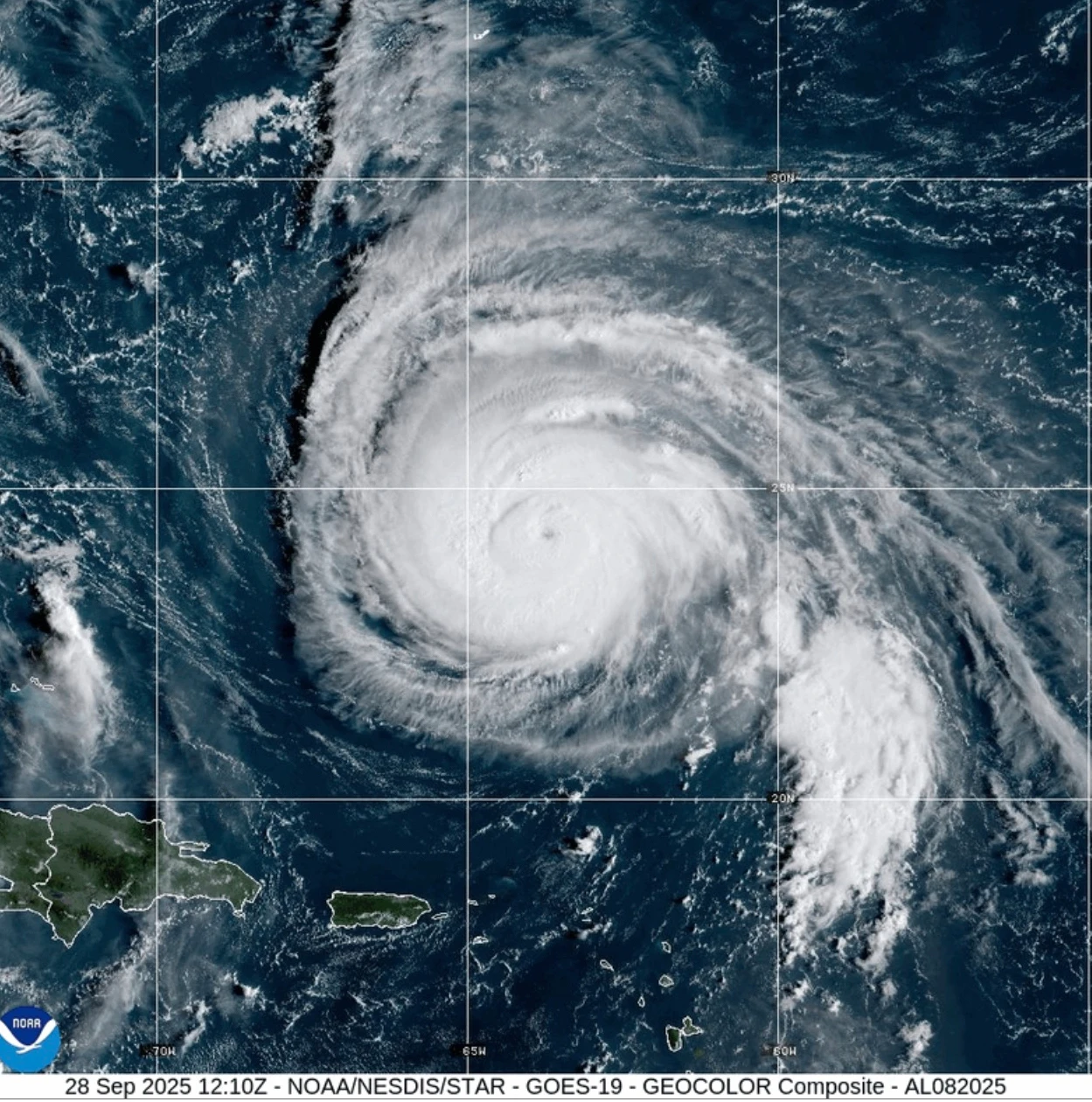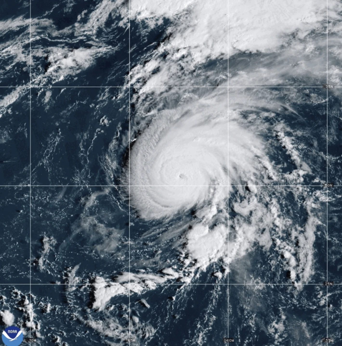
MIAMI (AP) — As the Atlantic braces for Hurricane Humberto, which has recently formed, forecasters confirm that it currently poses no threat to land. Humberto is located approximately 465 miles (750 kilometers) northeast of the northern Leeward Islands and is anticipated to strengthen significantly over the weekend, according to reports from the Miami-based U.S. National Hurricane Center.
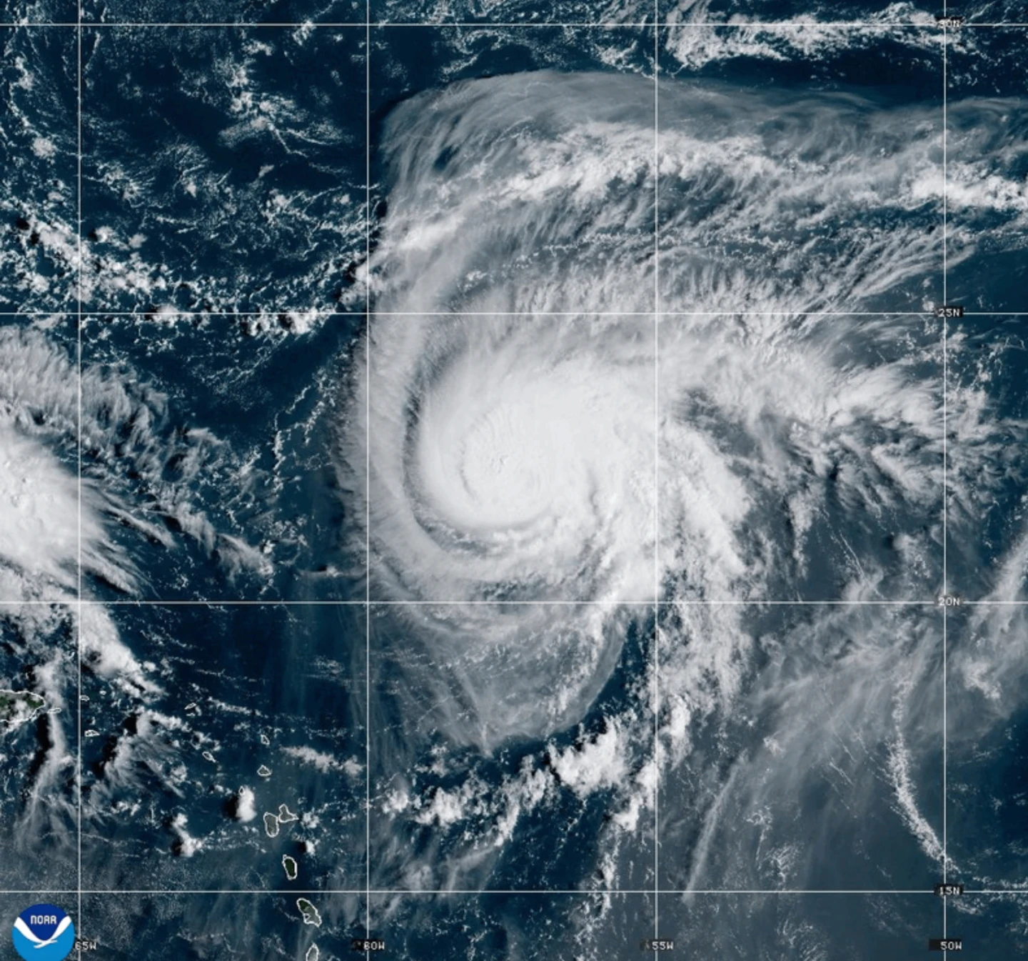
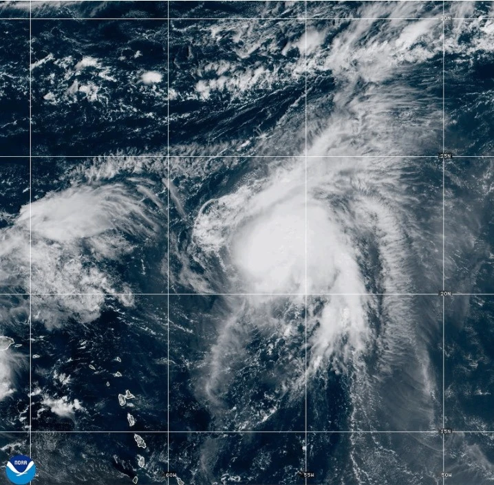
Simultaneously, former Hurricane Gabrielle, now a post-tropical cyclone, was active near the Azores on Friday. A hurricane watch remains in effect for the entire Portuguese archipelago as Gabrielle gracefully trails behind Humberto. As of Friday morning, the storm’s location was about 145 miles (230 kilometers) from Faial Island.
Gabrielle is boasting maximum sustained winds of 65 mph (100 kph) with higher gusts and is anticipated to begin a gradual weakening process on Saturday. Tropical storm-force winds extend outward up to 160 miles (260 kilometers), with an observatory reporting sustained winds reaching 78 mph (126 kph), classified as hurricane-level.
The hurricane center has categorized Gabrielle as post-tropical, lacking traditional tropical features, but warns of lingering severe weather impacts.
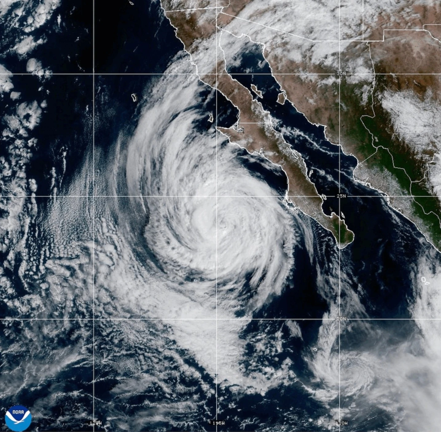
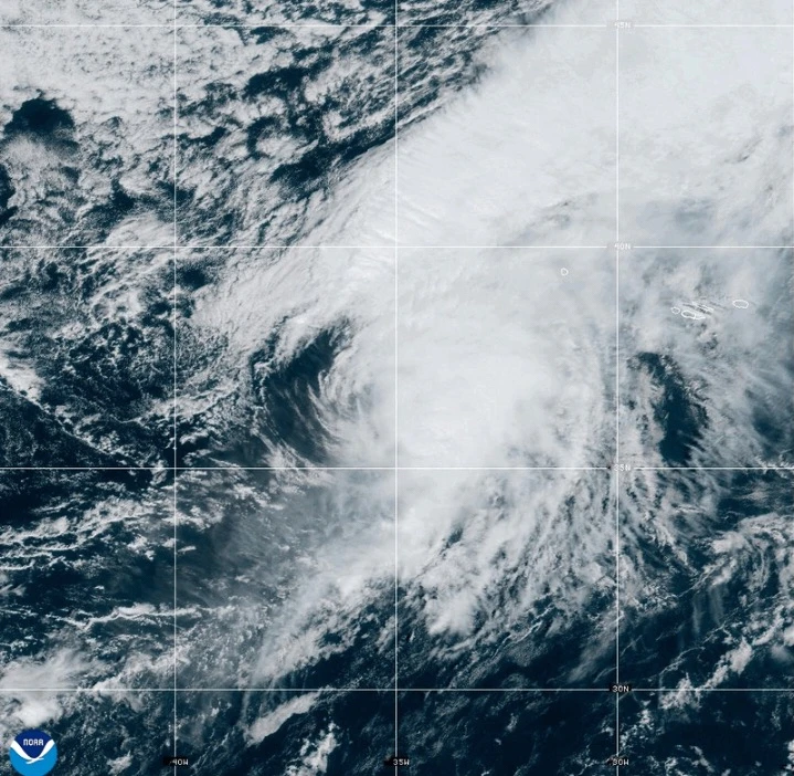
Meanwhile, Hurricane Narda is churning in the Pacific as a Category 1 storm but also poses no immediate threat to land. Forecasts suggest Narda could regain strength to Category 2 but is expected to gradually lose force over the next several days.
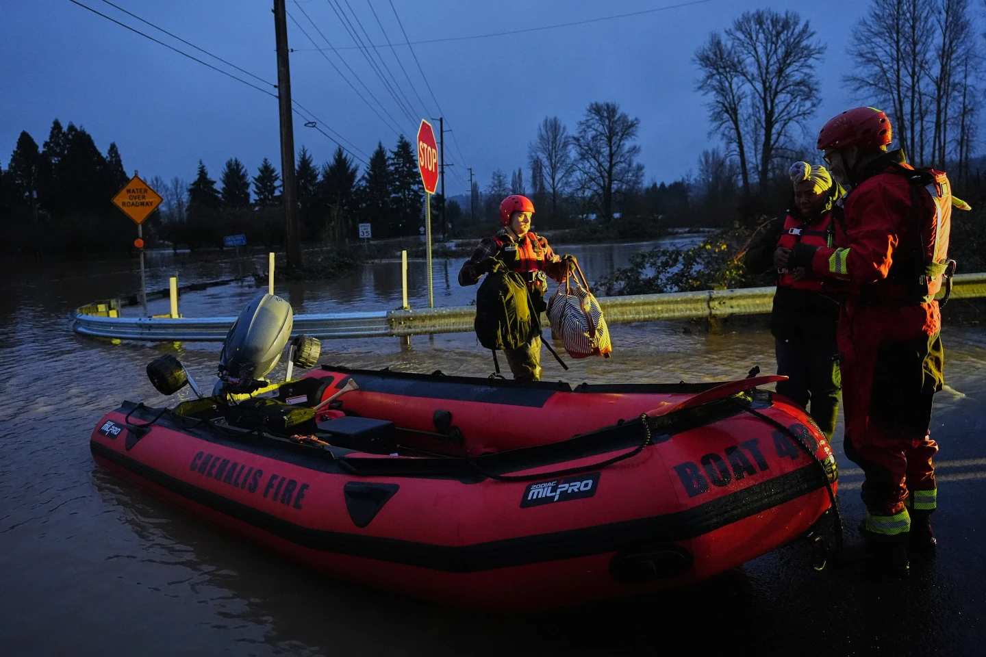
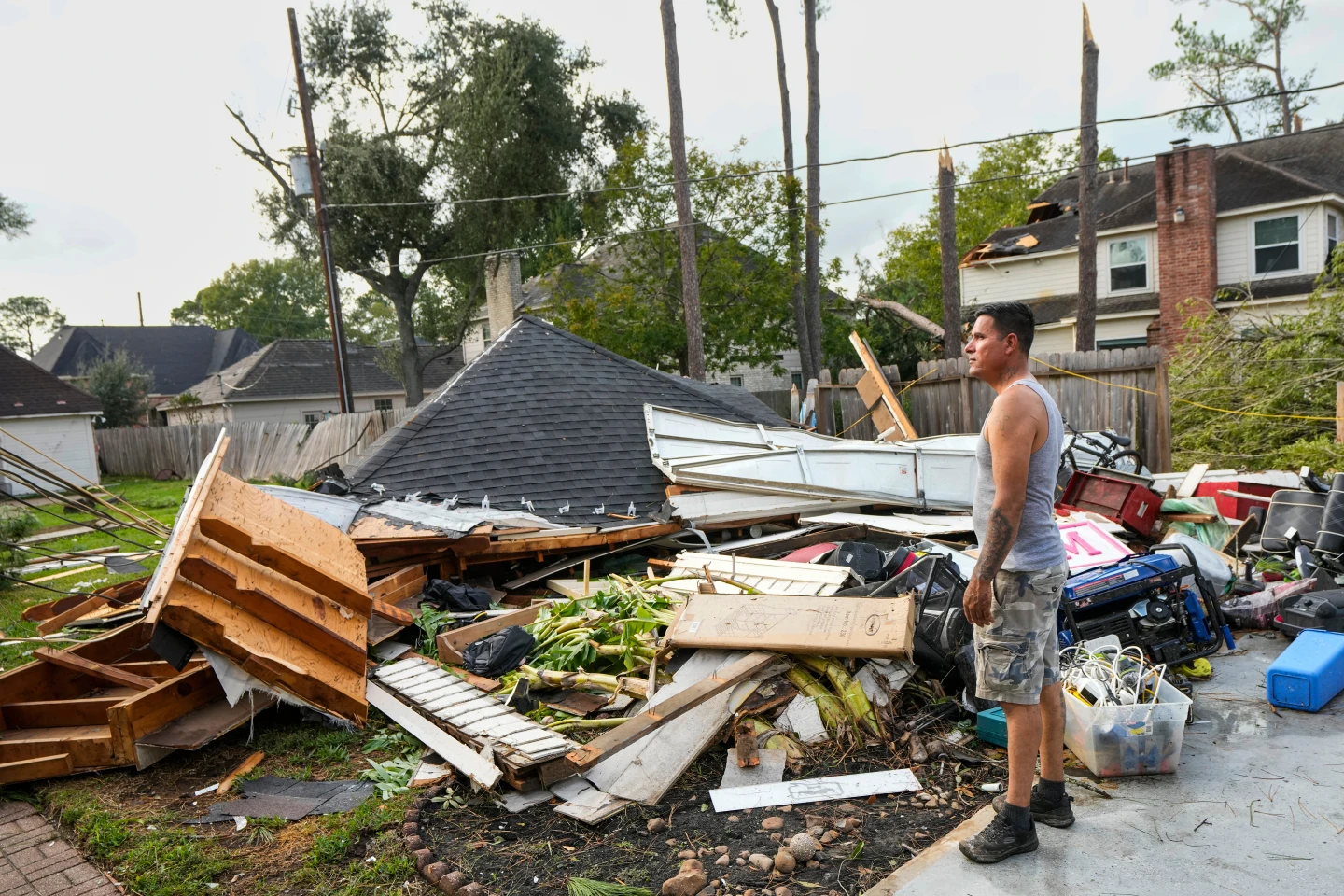
The situation is dynamic, with ongoing monitoring necessary for coastal residents as Humberto and Narda continue their paths across the oceans.