Satellite images have revealed the scale of two wildfires spreading in southern California. The Sandy Fire ignited on Monday morning in the city of Simi Valley, north-west of Los Angeles, according to California Governor Gavin Newsom.
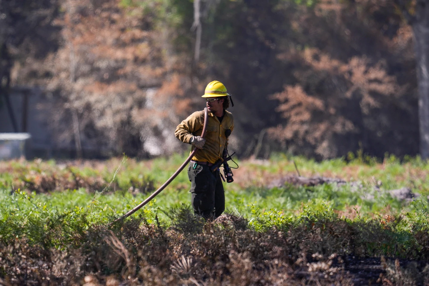
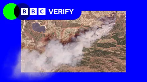
Images taken just after noon local time on Monday show a large plume of smoke rising into the air just south of the city. California fire officials reported that 750 firefighters are being supported by night-flying water dropping helicopters to target hotspots.
The Simi Valley Police Department indicated that the fire was reportedly sparked by an individual who hit a rock with a tractor. The blaze has since spread across 1,364 acres, and no part of the fire has been contained, officials said. Data from NASA's wildfire monitoring platform shows active hotspots moving further south overnight into Tuesday.
More than 10,000 homes have been evacuated in Simi Valley and surrounding communities due to the fire. An additional 3,500 homes are under evacuation warnings that extend into neighboring Los Angeles County. Despite initial fears, Los Angeles mayor Karen Bass stated that officials do not expect the blaze to reach the city but issued warnings out of an abundance of caution.
The spread of the fire was facilitated by high winds on Monday morning, which later eased, according to a fire department spokesperson. Classes have also been canceled at all campuses of the Simi Valley Unified School District in light of the situation.
In a related incident, a fire on Santa Rosa Island has devastated 14,600 acres of the Channel Islands National Park. This island is known for its unique ecosystems and has seen at least 70 firefighters and park rangers battling the blaze. National Park Service officials indicated that this fire was first reported on Friday but remained uncontained by Monday evening, raising concerns about the impact on its delicate flora and fauna.